
Places to go
Five ways onto the island
- Norra VallgrundA small fishing village, a sandy beach, and a harbor of red huts.
- Södra VallgrundThe southern village, and the start of the Sommarö trails.
- BjörköbyThe road north, toward the Kvarken Archipelago.
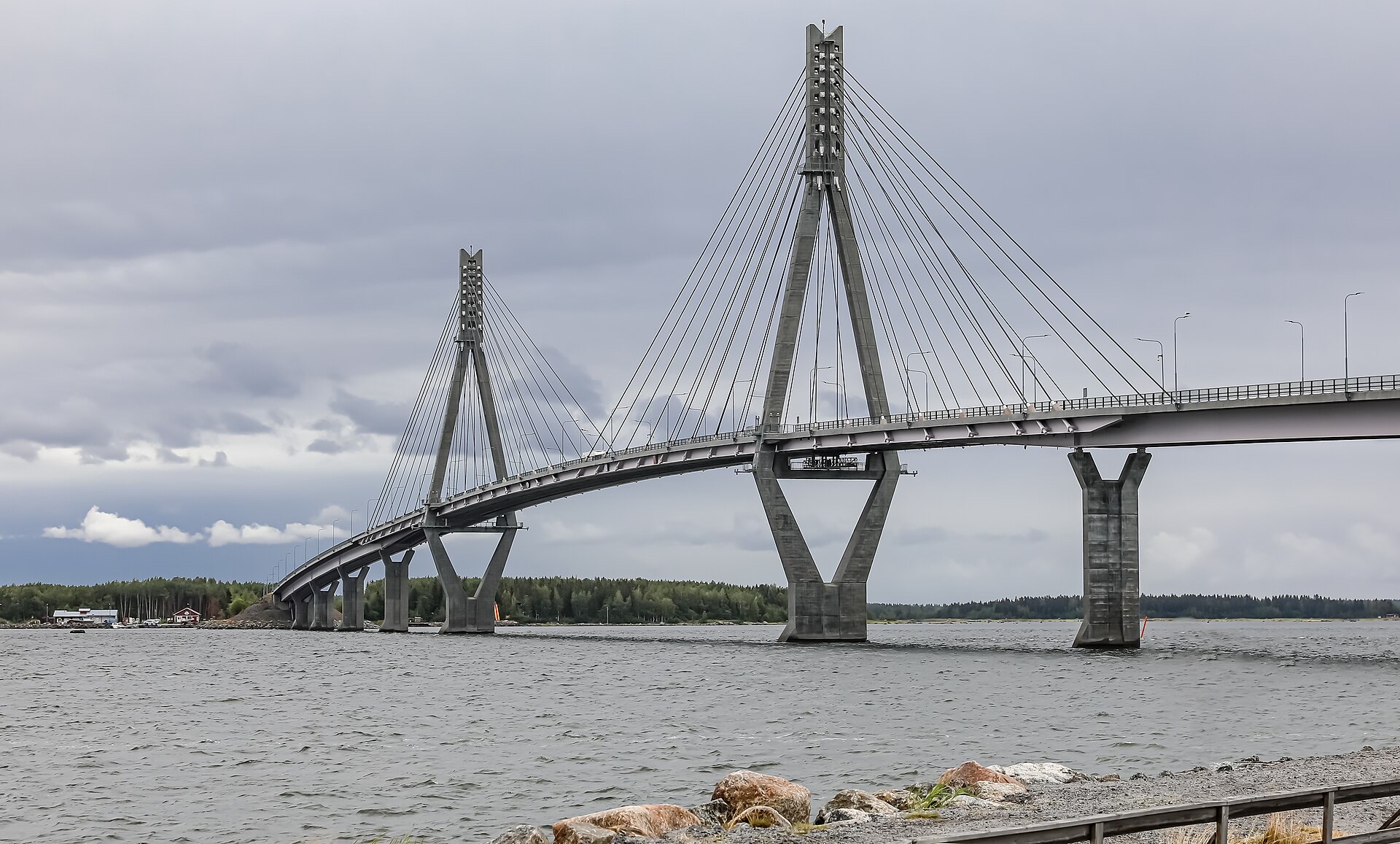
- Replot BridgeThe crossing onto the island.
- Kvarken ArchipelagoA world heritage landscape at the north end of the island.
Map
The island, one map
Villages, saunas, beaches, and trails. The same kind of map is on every guide.
Sauna
Six saunas, and one of them is free
Paddle to Djupskäret, or rent a village sauna for the evening. The expensive one is a cabin.
See the saunasSee & do
Trails, beaches, and the archipelago
- SaunasSix saunas you can use or rent, one of them free if you paddle there.
- BeachesSix official beaches on the island, and one just before the bridge.
- Hiking trailsTen official trails, from a 15-minute path to a 23 km ferry hike.
- Ski trailsTwo lit tracks, and the harbor ice when the winter is cold enough.
- Huts & outdoor grillsDay shelters, one free overnight cabin, and places to light a fire.
- KayakingTwo paddles from Norra Vallgrund beach, to a sauna and a laavu.
- Biking trailsCycling routes on the island, on the map.
- Observation towersSaltkaret on the Bodvattnet loop, and Kikanberget by the harbor.
Stay
Sleep on the island
Eat & drink
A harbor, not a restaurant row
Events
Wednesday sauna is the standing plan
Women from 17.30, men from 19.30, at Sommarösund. Three euros.
Events